Tentang Jimbharan Sukses
Kami ahli dalam pemetaan drone, surveying GNSS, dan analisis GIS yang presisi.


Layanan profesional dan hasil akurat.
Budi
"
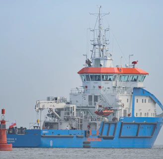
Galeri
Kumpulan foto proyek dan teknologi drone kami


Lokasi Kami
Berada di pusat kota, memudahkan akses untuk layanan konsultasi dan survei drone profesional.
Alamat
Jl. Ruko Citra Gran R 1 No. 1
Jam
Senin-Jumat 08:00-17:00